

Cycle along the Nidda river
A walk, or cycle ride along the Nidda river taking in nature and parks, an airfield and the pretty towns of Höchst and Bad Vibel.
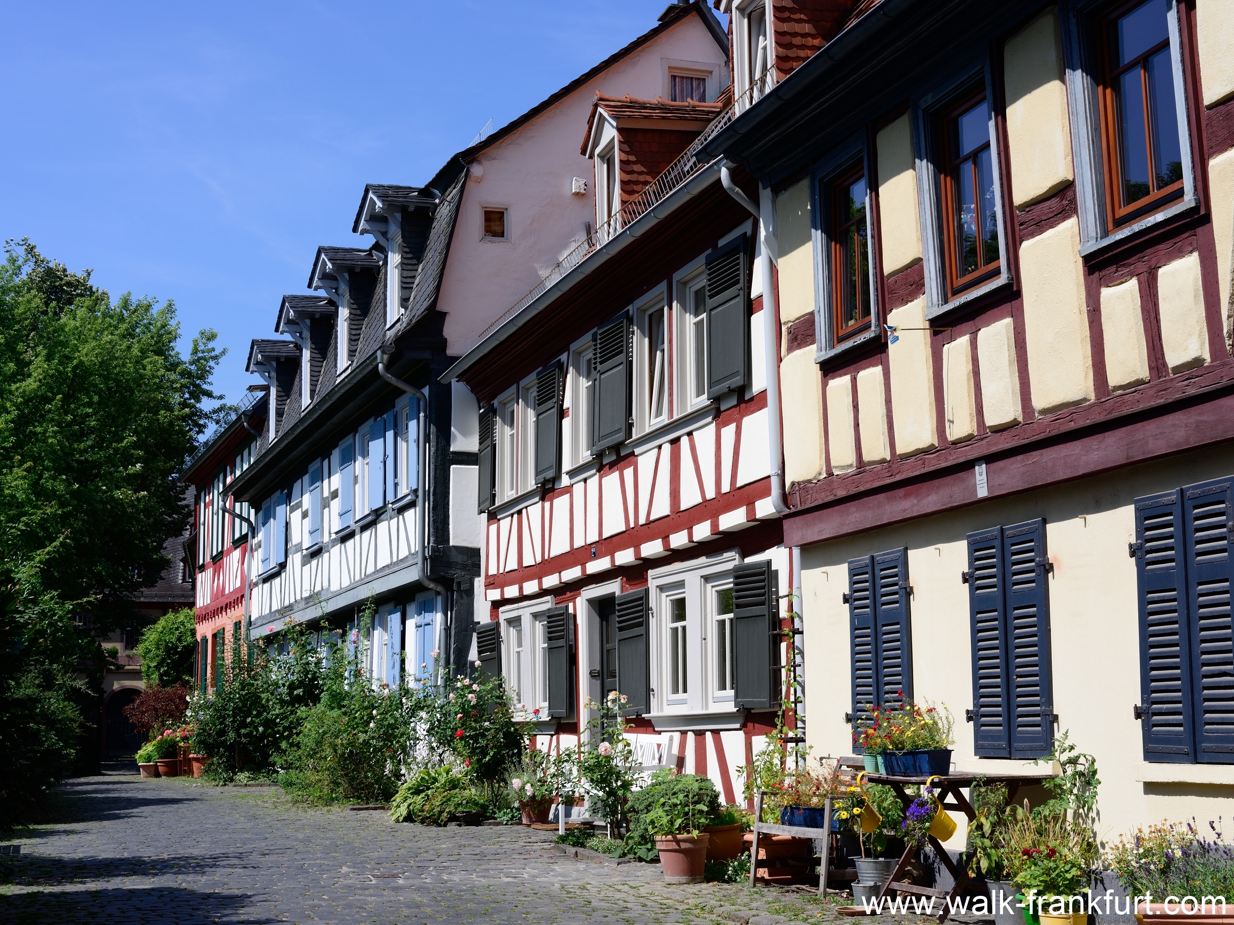
Frankfurt Höchst
Timber-framed medieval houses, a market, a castle and a ferry boat too. Many of the reasons to visit Frankfurt-Höchst.
